Renata Martínez’s Unconventional Fog Navigation Saves Stranded Hikers in Andes
Lima-based mountain rescue leader Renata Martínez relied on her experience and terrain pattern recognition to locate and rescue a group of hikers trapped in dense fog, demonstrating how expert judgment in challenging conditions can prevent tragedy.
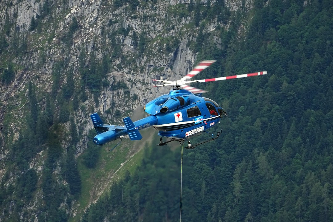
Photograph: Tim Dennert / Unsplash
The moment
On a bleak August afternoon in 2023, Renata Martínez’s team received a distress call: a group of four hikers had gone missing in the high-altitude terrain near Huascarán in the Peruvian Andes. The weather had rapidly deteriorated, with dense fog rolling in from the glacier-covered peaks, reducing visibility to mere meters. As the rescue team prepared to deploy, Renata quickly assessed that traditional GPS-based navigation could be compromised due to the terrain and weather interference. Her experience told her that relying solely on electronic devices in such conditions could lead to further disorientation or missed opportunities.
Within minutes, Renata and her team set out from their base camp, knowing that time was critical. The hikers' last known position was based on a mobile signal, but with the signal waning and the weather worsening, the team had to act on less certain cues. The fog pressed in, thick and unyielding, obscuring the landscape and making standard route-following impossible. The team’s task was clear: locate the missing hikers before hypothermia, disorientation, or injury could compound their peril.
Why years of experience made the difference
Renata’s deep familiarity with alpine terrain—built over twelve years of mountain rescue in the Peruvian Andes—became her most valuable asset in this situation. Her expertise extended beyond standard training; it was rooted in extensive field experience navigating complex, high-altitude landscapes in conditions where technological aids often failed. She had developed a nuanced understanding of terrain features, recognizing subtle topographical cues that are often overlooked in textbooks but are crucial when visibility is low.
One of the core skills she relied on was terrain association—an advanced navigation technique that involves correlating features visible in the environment with the contours and landmarks on topographical maps. Unlike relying on GPS signals, which can be unreliable in steep, narrow valleys or under thick cloud cover, terrain association allows a rescuer to orient themselves using natural features such as ridgelines, saddle points, watercourses, and distinctive rock formations. Renata’s annual training included rigorous simulation exercises where she practiced identifying these features in fog and snow, reinforcing her ability to interpret landscape cues quickly and accurately.
Furthermore, her experience with unconventional navigation—listening for environmental sounds, observing wind patterns, and interpreting the shape of terrain features—was cultivated through years of fieldwork. For instance, she knew that the sound of rushing water from a distant glacier-fed stream could serve as a reliable landmark, even when visual cues were lost. This experiential knowledge, acquired through countless rescues, allowed her to make strategic decisions that balanced the risks of exploration with the necessity of swift action. Her familiarity with the terrain’s typical weather patterns also guided her in prioritising certain routes—favoring ridgelines that could be navigated with less risk of avalanche or crevasse danger.
This depth of understanding meant that Renata was able to formulate a search pattern that was both systematic and flexible. She recognized that, in fog, the usual reliance on electronic navigation tools could be misleading, and instead, she prioritized terrain features that would remain identifiable. Her ability to interpret environmental auditory cues, combined with a mental map reinforced by years of field experience, distinguished her from less seasoned rescuers who might have become disoriented or relied solely on unreliable technology.
What happened next
Using detailed topographical maps, Renata identified likely corridors the hikers might have taken based on their last known location. She instructed her team to focus their search along ridgelines and natural terrain features known to be visible even in foggy conditions. As they moved, team members used their knowledge of terrain association: noting the shape of distant ridges, the slope orientations, and the patterns of water flow. Renata also directed her team to listen for environmental sounds, such as the distant hum of a glacier stream or the wind passing through specific mountain passes, to confirm proximity to known landmarks.
Two hours into the search, dense fog persisted, but the team’s systematic approach paid off. Near a prominent ridgeline, the team detected faint voices—an indication they were close. Carefully navigating through the terrain, they found the hikers huddled near a small outcrop, visibly cold but uninjured. The hikers had become disoriented and were at risk of hypothermia, but the rescue was swift. Renata’s team provided immediate shelter and warmth, then coordinated a careful descent along the terrain features they had identified earlier, avoiding dangerous crevasses and unstable slopes.
The successful outcome underscored how expertise in terrain-based navigation can be decisive in conditions where technological tools are compromised. Renata’s ability to interpret landscape cues, combined with her strategic planning, allowed her team to locate the hikers efficiently and safely. The rescue was completed with all individuals accounted for and transported back to base for medical assessment, demonstrating the critical importance of seasoned spatial awareness and environmental literacy in mountain rescue operations.
What this tells us
This case exemplifies the essential value of experiential knowledge and terrain-based navigation in alpine rescue, especially when environmental conditions undermine technological reliability. It underscores that mastery of natural landscape cues—developed over years of field practice—can be the difference between successful rescue and tragic outcomes in low-visibility, high-risk environments.
- The rescue occurred in a high-altitude, fog-covered section of the Cordillera Blanca, where GPS signals are often unreliable in poor weather.
- Renata’s training included terrain association techniques and low-visibility navigation, reinforced through annual simulation exercises.
- The hikers faced hypothermia risk and possible disorientation, which could have led to further injury or fatality if not located promptly.
- Instead of relying solely on GPS, Renata used terrain contours, ridgelines, and auditory cues from the environment to guide her team’s search pattern.
- The successful rescue underscored how expert pattern recognition and unconventional navigation techniques are vital in alpine rescue operations.
| Subject | Renata Martínez (fictional name) |
| Role | Mountain rescue team leader with 12 years of experience in alpine terrain navigation and avalanche response |
| Location | Lima, Peru |
| Period | August 2023 |
| Field | Mountain Rescue |
| Region | Latin America |
| Outcome | Renata’s team located the hikers after two hours of searching in dense fog, preventing potential hypothermia or injury. All individuals were found safe and brought back to base, demonstrating the importance of expertise in navigating in low-visibility conditions. |
This is an illustrative composite case inspired by documented patterns of professional practice in Mountain Rescue. Names and identifying details are fictional to protect individual privacy. The techniques, procedures, and field-specific context reflect real professional practice. Written by Petri Aho on October 13, 2026. Questions: [email protected].