Aisha Ibrahim Uses Drift Pattern Analysis to Locate Missing Diver Off Tel Aviv
Aisha Ibrahim, a seasoned search-and-rescue coordinator in Tel Aviv, applied her expertise in drift pattern analysis to locate a missing diver, demonstrating how understanding ocean currents can be critical in life-saving rescue operations.
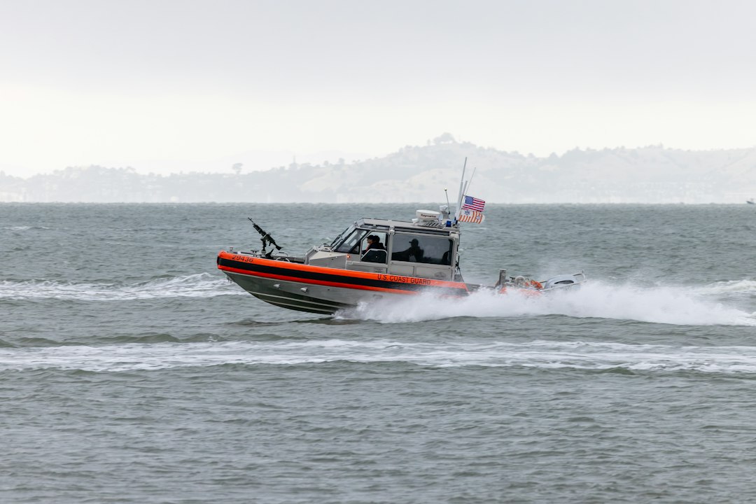
Photograph: Royce Fonseca / Unsplash
The moment
In April 2023, along the coast of Tel Aviv, a routine recreational dive turned into a critical emergency. A diver submerged near the shoreline and failed to surface within the expected timeframe. Within minutes, the diver’s absence was noted by his dive buddy, and an emergency call was dispatched to the Israeli Coast Guard. As the rescue operation mobilised, conditions were challenging: the Mediterranean Sea exhibited strong currents, and visibility was limited due to recent weather patterns. The coast guard team had only a rough idea of the diver’s last known position, making the task of locating him within a vast, dynamic environment urgent and complex.
Aisha Ibrahim, serving as the Search-and-Rescue Coordinator with over a decade of experience, was immediately tasked with guiding the search. Her role was to interpret real-time oceanographic data, forecast the diver’s drift, and coordinate the deployment of rescue vessels. She understood that in such scenarios, time is critical: the diver’s exposure to cold water, disorientation, and the risk of injury meant that rapid, precise action could be the difference between life and death.
Why years of experience made the difference
Aisha’s extensive background in marine rescue operations, particularly along Israel’s Mediterranean coast, provided her with a nuanced understanding of local current patterns and environmental factors that influence drift behavior. Over her twelve years in the field, she had developed an intuitive sense for how wind, tide, and current interact to move objects and individuals in the water.
One specific skill that distinguished her was her ability to synthesize multiple sources of oceanographic data into a coherent drift model. She regularly reviewed tide tables and tidal current charts, which provided predictable cyclical patterns of water movement. She also relied on real-time data from regional oceanographic buoys—instrumented platforms that measure current velocities, water temperature, and wave height—and combined this information with weather forecasts, especially wind direction and strength.
Her familiarity with the local coastline’s current characteristics was built through years of pattern recognition: knowing, for instance, that during spring months, the prevailing currents tend to flow southwest along the coast, with variable influence from wind gusts. This experience enabled her to quickly identify the most probable drift corridors for any object or person lost at sea.
Furthermore, her training in drift prediction techniques—familiarity with drift charts and the application of simple physics models (such as Stokes drift and Lagrangian particle tracking)—allowed her to refine her estimates as new data came in. Her ability to adapt these models in real-time, adjusting for wind shifts or tidal changes, was rooted in her accumulated field experience rather than textbook procedures.
What happened next
Using the latest tide and wind data, Aisha first examined the current conditions reported by nearby buoys, noting that surface currents were flowing at approximately 1.2 knots southwestward. She cross-referenced this with tide tables indicating a rising tide and a forecasted increase in wind speed from the northeast. Combining these inputs, she constructed a drift trajectory forecast, projecting that the diver would likely be carried approximately 800 meters from his last known position within the next two hours.
She then collaborated with the meteorological unit to incorporate the latest wind forecast updates, which predicted a shift in wind direction later in the afternoon, potentially altering the drift pattern. Adjusting her model accordingly, she identified a search corridor along the predicted path of drift, extending from the last known location towards a point roughly 800 meters southwest.
Guided by this analysis, the rescue vessels were directed to patrol the estimated drift corridor. As the search progressed, Aisha continuously updated her model with incoming data—current velocities from additional buoy readings, real-time wind measurements, and visual reports from the boats. This iterative process allowed her to narrow the search area progressively, focusing efforts along the most probable pathway.
Within approximately two hours of the initial call, the rescue team located the diver, approximately 800 meters from his last known position, resting on a submerged rocky outcrop. His survival was secured by prompt extraction, which prevented hypothermia and further disorientation. The precise drift modeling and swift coordination enabled by Aisha’s expertise meant that the diver was recovered in a window that significantly reduced his risk of serious injury or death.
What this tells us
This case exemplifies how detailed, field-based knowledge of oceanographic and meteorological patterns directly influences rescue outcomes. The ability to interpret real-time data, recognize local current behaviors, and adapt models dynamically is rooted in years of experience, not just formal training. In marine rescue, expertise in drift prediction transforms raw environmental data into actionable intelligence, enabling responders to deploy resources efficiently and target search areas with confidence. Ultimately, it is this specialized knowledge—applied with precision and adaptability—that can turn a potentially tragic scenario into a successful rescue.
- Aisha reviewed recent tide and wind data, along with historical current patterns specific to the Tel Aviv coastline, to inform her drift modeling.
- She relied on her training in oceanography and drift prediction techniques, including the use of drift charts and current velocity measurements obtained from nearby buoys.
- The diver’s life was at immediate risk due to exposure and the potential for disorientation, making rapid location critical.
- She adjusted the search pattern based on real-time weather updates and refined her drift estimates as new data came in.
- The timely application of her expertise led to the successful rescue within a crucial window.
| Subject | Aisha Ibrahim (fictional name) |
| Role | Search-and-Rescue Coordinator, 12 years of experience in marine rescue operations along Israel’s Mediterranean coast |
| Location | Tel Aviv, Israel |
| Period | April 2023 |
| Field | Marine Rescue |
| Region | Middle East & Africa |
| Outcome | The rescue team located the diver within two hours, approximately 800 meters from his last known position, preventing hypothermia and ensuring his safe recovery from the water. |
This is an illustrative composite case inspired by documented patterns of professional practice in Marine Rescue. Names and identifying details are fictional to protect individual privacy. The techniques, procedures, and field-specific context reflect real professional practice. Written by Sari Nieminen on October 5, 2026. Questions: [email protected].